
CELESTIS
Exploring the Atmosphere Through Innovation
Project Description
Celestis is an innovative CanSat mission designed to collect atmospheric data during descent with stable telemetry and high-quality sensing.
Developed by a team of four students from IES Faro de Maspalomas, our primary mission measures temperature and atmospheric pressure throughout the descent, transmitting data in real time to a ground station via LoRa at 868 MHz. Our secondary mission goes further — using a camera and environmental sensors to analyse terrain during descent, identifying zones suitable for plant reforestation based on soil type, altitude, humidity, and proximity to water. This has direct applications for combating desertification in the Canary Islands.
Mission Goals
Four core objectives driving Celestis from concept to descent.
Atmospheric Data Collection
Gather comprehensive data on temperature, pressure, humidity, and altitude throughout the descent.
Real-time Telemetry
Establish reliable communication systems for real-time data transmission to ground stations.
Stable Descent Control
Implement effective stabilization and descent control mechanisms for accurate data collection.
Data Analysis & Visualization
Process and visualize collected data to derive meaningful insights about atmospheric conditions.
Gallery
Behind the scenes of our mission development.
Our Team
Four minds, one mission.
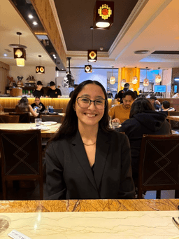
Laura Sánchez
Team Captain & Engineer
Organisation, antenna & parachute design, sponsorships and merchandising

Nathaniel Pérez
Report Writer
Technical documentation, parachute assembly and sponsor outreach

Héctor Suárez
Software Developer
Circuit schematics, programming, sensor testing and data visualisation

Giovanni Cabrera
Assembly & Fabrication
CanSat structure assembly and antenna construction support